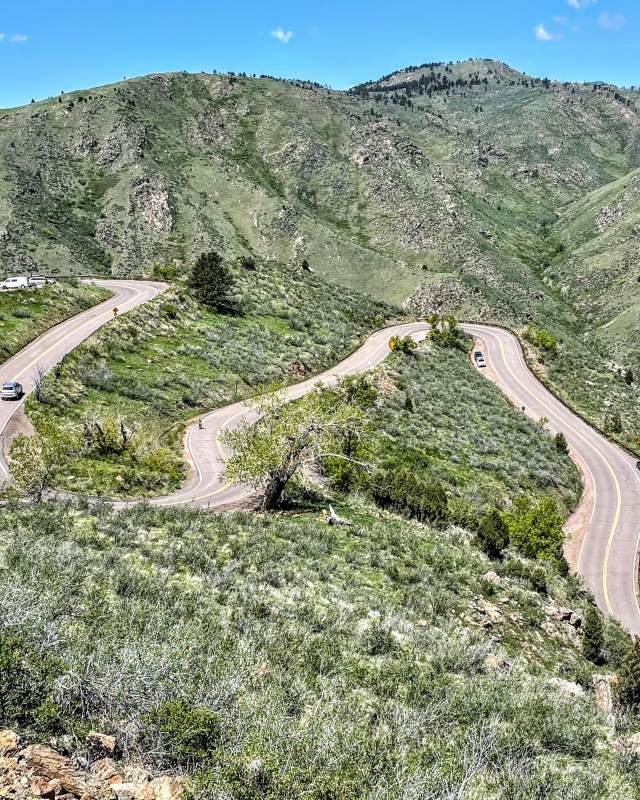
Lariat Loop National Historic Byway
The Lariat Loop National Scenic Byway is a 40-mile looped roadway connecting the historic towns of Evergreen, Morrison and Golden. There is no designated starting or ending point, but common routes often start in Golden and end in Morrison. The Lariat Loop® Byway allows you to retrace the motoring adventures of the early 1920s and experience the thrill of foothills exploration at the dawn of the Age of Motorcars. This byway is a combination of two historic routes: the Lariat Trail Scenic Mountain Drive ascending Lookout Mountain in Golden and the Bear Creek Canyon Scenic Mountain Drive.
Before you head out, grab a to -go coffee, breakfast or lunch in downtown Golden, which offers a wide variety of cafés, coffee shops, food halls and restaurants. Don’t forget to grab a photo under the famous Golden Welcome Arch!
Attractions Along the Route
Downtown Golden is at the heart of the City located along the banks of Clear Creek between the foothills of the Rocky Mountains to the West and two ancient mesas to the East. While walking through our charming downtown you'll see the iconic “Howdy Folks! Welcome to Golden” sign spanning the city’s…
Frequently Asked Questions
Lariat Loop
How long does it take to travel the Lariat Loop scenic byway?
Allow about 2-3 hours to enjoy the Lariat Loop byway, depending on how many stops you make. Ensure you have plenty of gas, as stops along the loop are limited.
How high is Lookout Mountain?
The highest point on Lookout Mountain is 7,500 feet.
How many towns are located along the Lariat Loop?
Three towns are located along the Lariat Loop byway: Golden, Evergreen and Morrison.
Where can I find a printed map of the Lariat Loop?
You can find a brochure and map of the Lariat Loop scenic byway at the Golden Visitors Center in downtown Golden.
Where should I start and end the Lariat Loop drive?
You can start and stop anywhere you choose along the route. The official brochure and map provides a suggested route you can follow.


